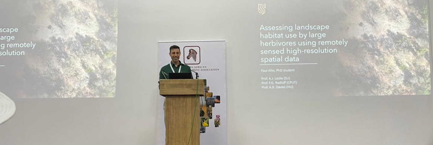
PhD Student Paul Allin Secures Top Prize at the Southern African Wildlife Management Association (SAWMA) Conference
Paul’s PhD project is entitled Improving the Accuracy and Precision of Aerial Census in the Savanna Biome Using Remote-Sensed Imagery and Machine Learning.
The aim of his research is to develop an automated aerial game census technique for the savanna biome that matches or surpasses human counting in both precision and accuracy when detecting and enumerating medium and large herbivores. Remote-sensed imagery further enables highly accurate mapping of animal locations in relation to their environment. Understanding how organisms interact with each other, as well as the spatial organisation and functioning of ecosystems, is essential for comprehending ecosystem dynamics as a whole. Enhancing our ability to measure these interactions lays the foundation for a more comprehensive understanding of ecosystem processes.
Given the critical role herbivores play in shaping savanna ecosystems, improved methods to monitor their populations across space and time add significant value. Effective management of herbivory depends on reliable data about ungulate population trends and distributions, which are vital for multiple objectives—ranging from environmental monitoring and species reintroduction, to assessing population health, informing conservation action, and advancing ecological knowledge.
This research aims to improve the methods used to estimate animal numbers and monitor populations through automation. Not only is the process expected to eliminate the human error inherent in current methods such as aerial surveys, but it will also provide a more cost-effective alternative. Moreover, the higher spatial precision offered by remote-sensed imagery will expand our understanding of the drivers of animal movement across landscapes.

Paul Allin with the projects drone
Edited by Precious Canham